West Wickham
#2406
Search:
Google images eBay wikipedia YouTube
(
52.10833 ,
0.35506 )
Map/aerial photo of the area around the mill
Streetly End Mill :
tower mill
function:Corn mill
West Wickham, 13th April 2001
West Wickham,
, 17/8/80
West Wickham,
, 17/8/80
West Wickham,
, 17/8/80
Entry in Mills Archive database -
#2406 - Streetly End Mill, West Wickham
Muggeridge Collection photos
[
PastScape ]
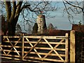
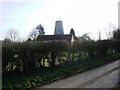
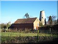
(3) Geograph images are licenced under a Creative Commons Attribution-Share Alike licence
Streetly End tower mill Photos: (1) NMR (a-c) derelict with cap (2) A C Smith (WIC) (a) derelict with cap frame, July 1970 (3) BSM (a) w/o (4) UOK (MC) (a) derelict with cap, June 1935
Flickr images are copyright their individual photographers.
Show 3 Flickr images
Images from Historic England - hover over image to see copyright info, and to enable zoom
Streetly End, West Wickham, South Cambridgeshire, Cambridgeshire, CB1 6RP
23 Aug 2002 - Photograph (Digital)


 (
(